
Often those who are If you're a beginner with GIS you'll find it a bit difficult. to fully grasp the concept of vector but this is one of the fundamental concepts for approaching the GIS methodology in a profitable way.
In mathematics a vector is an element of a vector space. Vectors are therefore elements that can be added together and multiplied by numbers, called scalars.
The mathematical concept of vector arises from the intuitive idea of a physical quantity (such as displacement, acceleration and force) characterized by intensity, direction and direction in three-dimensional space. Following the introduction of Cartesian coordinates a quantity of this type could be represented by a trio of real numbers: the components relating to three spatial directions of reference. In the subsequent mathematical formalization we have have come to define the general concept of vector space, as a set in which defined as the linear combination operation of two or more elements. Source Wikipedia
An array, in informatica, indicates a complex, static and homogeneous data structure. title="Mathematics" href="https://it.wikipedia.org/wiki/Mathematics" target="_blank" rel="noopener">mathematics of vector (when one-dimensional) or of matrice (in the case of two-dimensional arrays). More precisely, the array is typically classified as a type constructor: in other words, it allows you to define new data types starting from (as aggregates of values of) pre-existing types. Source Wikipedia
Always to stay in the IT field:
The vector graphics are a technique used in computer graphics to describe an image. An image described with vector graphics is called a vector image. In vector graphics an image is described by a set of geometric primitives that define points, lines, curves and polygons to which colors and even shades can be attributed. &` radically different from raster graphics as in raster graphics the images are described as a grid of pixels appropriately colored. Source Wikipedia
There is a thread that unites the concept of geometric vector in the GIS methodology and that of vector exposed in the previous quote. Let's go and check this out!
1- "type": "FeatureCollection",

2- code"name": "points",

3- "crs": { "type": "name", "properties": { "name": "urn:ogc:def:crs:OGC:1.3:CRS84" } },

4- "features": [

5- { "type": "Feature", "properties": { "fid": 1, "type": "Residential", "sqrmtr_price": null, "plot_price": null, "note": null }, "geometry": { "type": "Point", "coordinates": [ 12.158822824152232, 47.583995291616759 ] } },

6- { "type": "Feature", "properties": { "fid": 2, "type": "Residential", "sqrmtr_price": null, "plot_price": null, "note": null }, "geometry": { "type": "Point", "coordinates": [ 12.161791070162508, 47.573837919181756 ] } },

7- { "type": "Feature", "properties": { "fid": 187, "type": "Commercial", "sqrmtr_price": null, "plot_price": null, "note": null }, "geometry": { "type": "Point", "coordinates": [ 12.166065011998164, 47.574026068047772 ] } }

8- ...

9- ]

10- }
The lines of code above reproduce a geojson extracted from PostGIS. If you go to line 5 and scroll to after "coordinates" you will notice the typical formatting of a mathematical vector, as well as of a computing array. Each pair of numbers [ 12.158822824152232, 47.583995291616759 ] defines the geographical position of a point, in this case of the point called("fid") 1; the vector in question has 3 points having 3 pairs of coordinates. This vector is a two-dimensional vector since it has only two pairs of coordinates per point instead of the three needed for a three-dimensional vector.
What else do these lines of code show us? In line 3 there is the reference system (remember the Cartesian coordinates recalled when the concept of mathematical vector was expressed?). In line 5 the"geometry" attribute defines the type of geometry; point in this case but it could be linear or polygonal depending on the type of geometric primitive to be represented (and here we are referring to vector graphics).
After this small but very important preamble we can go on to define what is a vector in the GIS methodology:
A geometric vector is a set of coordinates expressed according to geometric primitives that define an object that represents an entity geographical or a phenomenon.
Geometric primitives are points, lines and polygons and each vector can bring with you one and only one of these primitives.
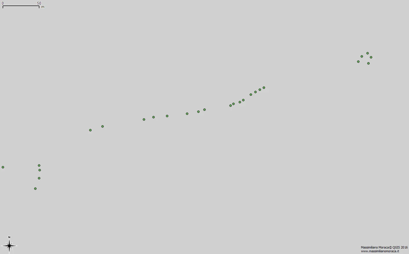
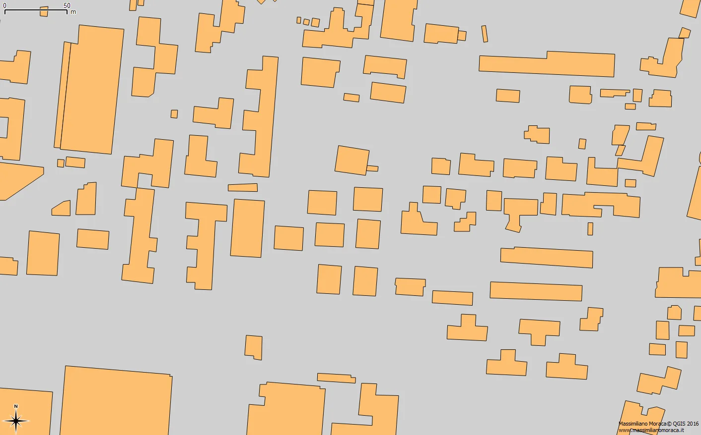
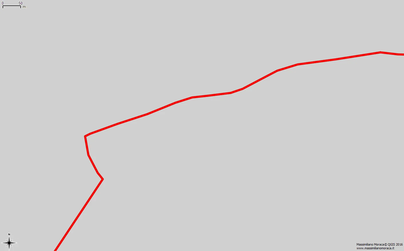
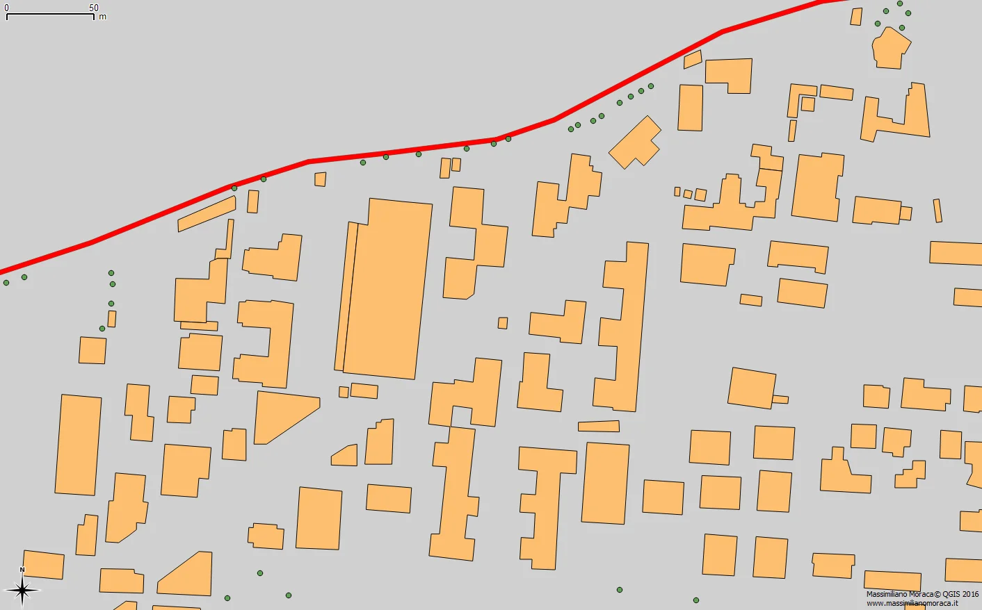
Figures 1 and 2 show entities geographic entities, figure 3 reproduces an entity as abstract as it can be be a municipal border or another type of phenomenon such as the path of an airplane for example.
Each of these geometric primitives carries with it attributes. In fact every geometric vector is accompanied by an important series of information, defined as attributes, inserted in a table in order to define an attribute table. The attribute table is the entity which differentiates a GIS vector from a GIS entity geometry created in CAD.
It is also essential to understand that geometric primitives cannot be added in the same vector. For example, when you define a vector in the SQL language, using for example PostGIS, with the AddGeometryColumn command you define the type of geometry that will define the geometry. then the vector type(POINT, LINESTRING, POLYGON, MULTIPOINT). A client such as QGIS will read always and only the distinction between the three types even if they reside in the same "table space" as in a spatial database.
Another thing that often confuses those who are novice with GIS is the nomenclature. There are many types of vectors but they are still vectors even if they are called Geojson, Shape File, GPX, Kml. These are just the most common file extensions that reproduce geometric vectors. And when we don't "see" the file extension because perhaps contained in a geodatabase, even in that case, upon entering the geodatabase, we will always and only see punctual vectors, linear vectors, polygonal vectors.