Underground utility networks are often a poorly understood entity in Italy. Information about pipes, cables, and conduits is usually collected somehow, but the real problem is how those data are archived, classified, and made usable. Technical offices are often full of shelves packed with plans and layouts, but shouldn’t these data be organized in a structured and interoperable way?
AgID answered that question in 2015 with the fifth version of the Technical rules for defining the content specifications of underground utility-network databases. These rules define the operating framework for what we might call the cadastre of utility networks.
The technical rules provide the reference information base for a nationwide and homogeneous infrastructure cadastre. They build on the work of dedicated technical groups, align with geotopographic database standards, and support interoperability between public information systems.
The same preface also explains that the specifications were aligned with the European INSPIRE model for Utility and Government Services and later integrated for SINFI, the National Federated Information System for Infrastructures.
The legal framework for underground utility networks includes:
- Legislative Decree 82/2005, the Digital Administration Code;
- Directive 2007/2/EC (INSPIRE);
- Directive 2014/61/EU;
- article 6-bis of Decree Law 133/2014, converted by Law 164/2014;
- the Prime Minister's Directive of 3 March 1999 on the rational organization of technological systems underground;
- the technical rules for geotopographic databases, which remain the broader reference model.
The subject is broad and could justify several dedicated articles, from INSPIRE to local regulations. That goes beyond the goal of this series, so below you will simply find a few excerpts of attribute tables related to utility networks.
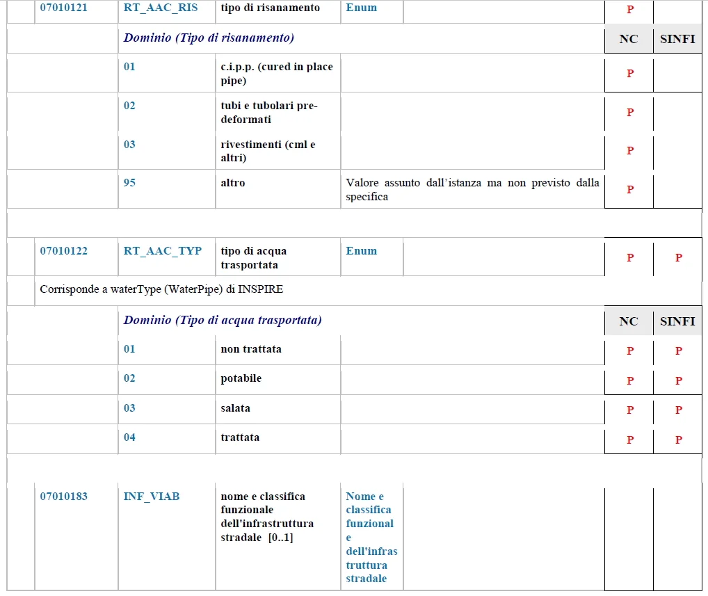
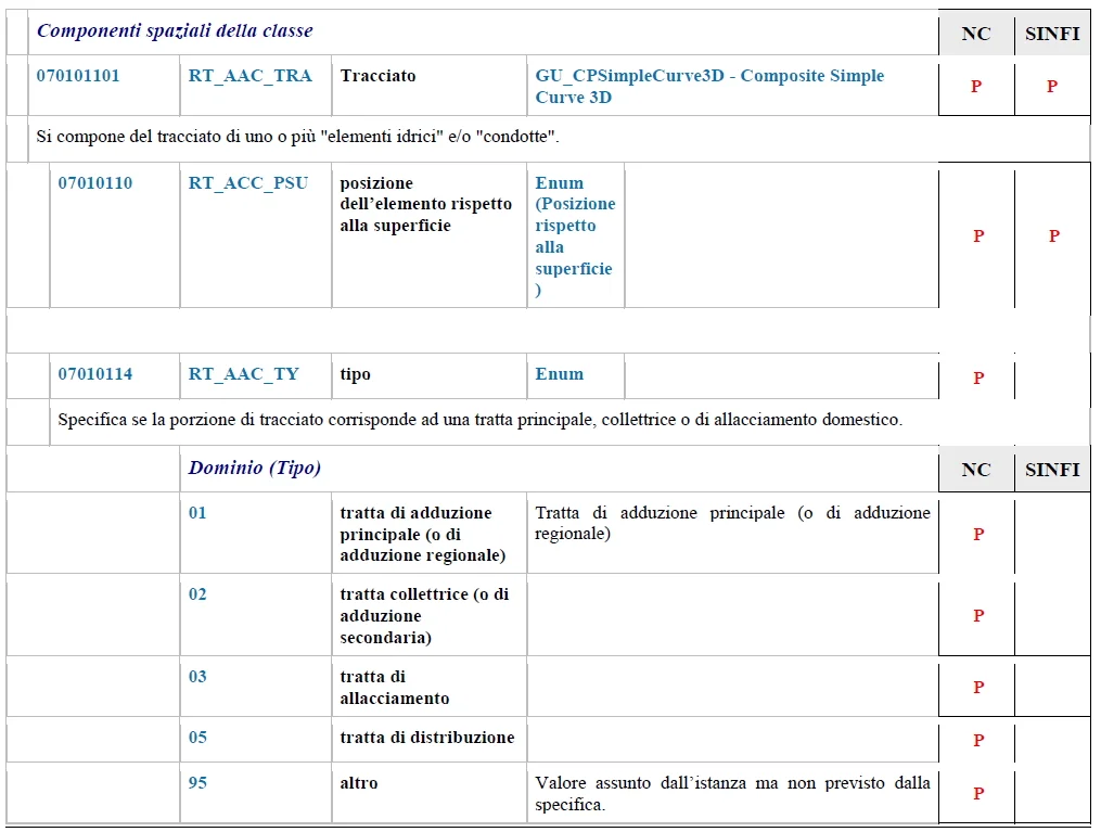
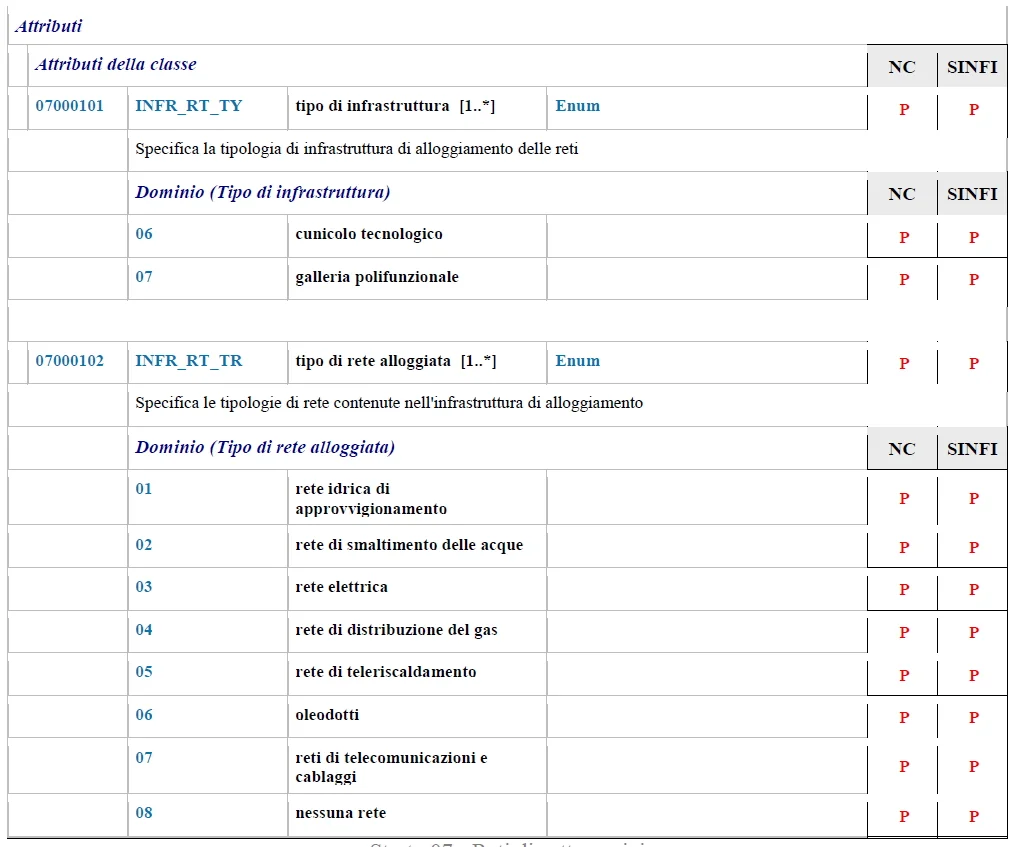
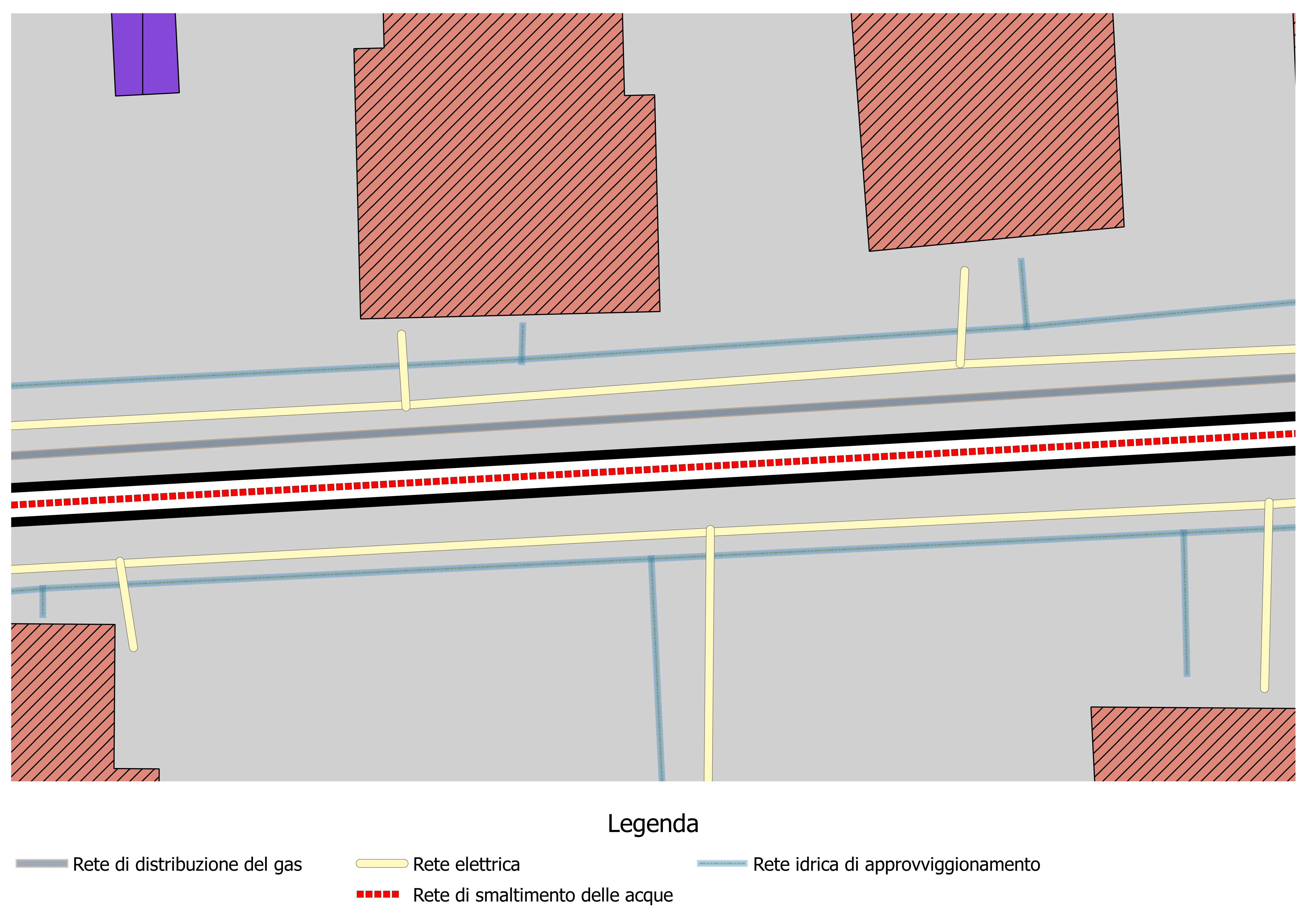
Because the subject is so wide, consider the final image as illustrative rather than exhaustive.