
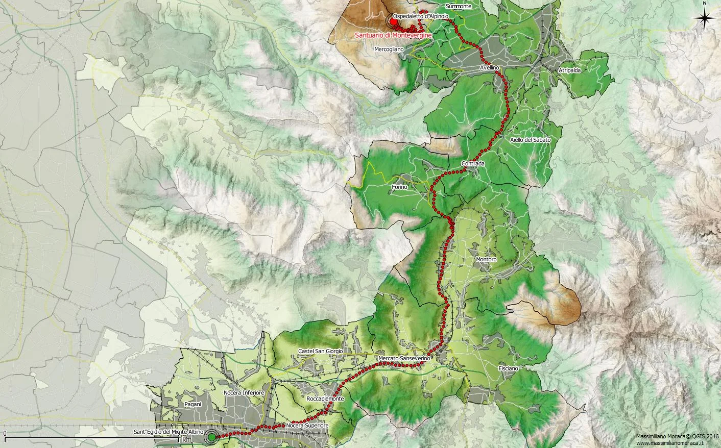
Territorial promotion is one of those activities in which GIS can also make a contribution. How? One example is the visualization below!
Imagine that this 3D view shows a tourist itinerary. Every click on the map is associated with information related to the route being promoted, and it is also possible to see the terrain morphology, which is useful, for example, for trekking or cycling routes.
A GIS can be used to derive many tools for territorial promotion. It can support the production of itineraries that later flow into traditional paper brochures distributed by tourist agencies or local associations. It can also become the basis for a web portal designed to promote productive activities, trail networks, and places of cultural interest within a territory. It can just as easily become the base structure for territorial promotion delivered through a smartphone or tablet app.
In short, I think a GIS for territorial promotion has only one limit: the developer's imagination! ;)