
Territorial planning and management are unthinkable without the support of a GIS. Even so, in too many cases CAD is still used, for example, to prepare a municipal urban plan.
To list the countless applications of GIS methods in planning would require a whole book, so I will mention only a few of the most significant examples.
Think about correctly identifying the historic center of a town, or distinguishing between areas intended for residential development and those meant for productive activities.
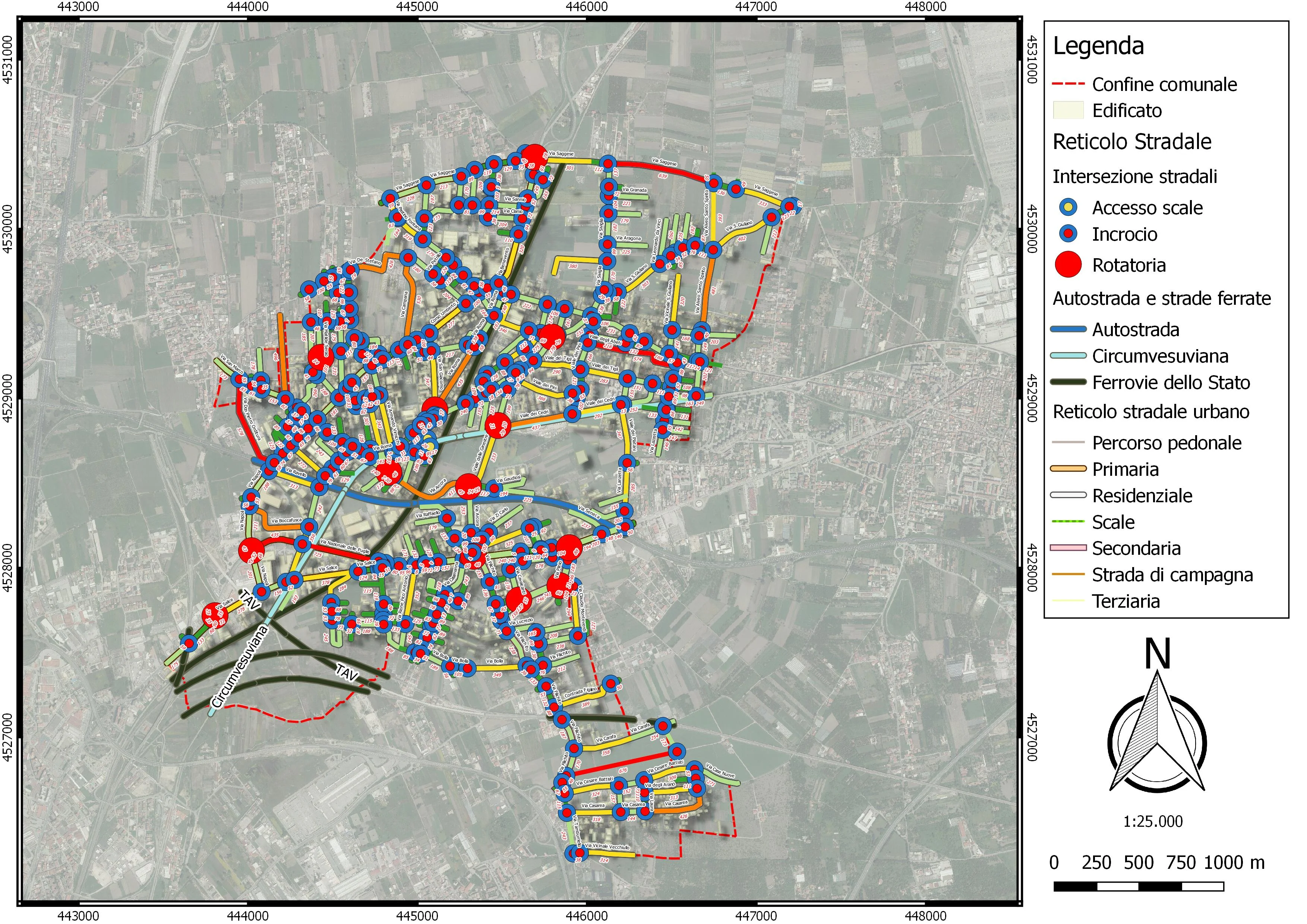
Think about identifying and classifying the types of roads that cross a municipal area, managing travel directions, defining limited-traffic zones, identifying gathering areas for the population in case of evacuation, or drafting civil-protection plans.
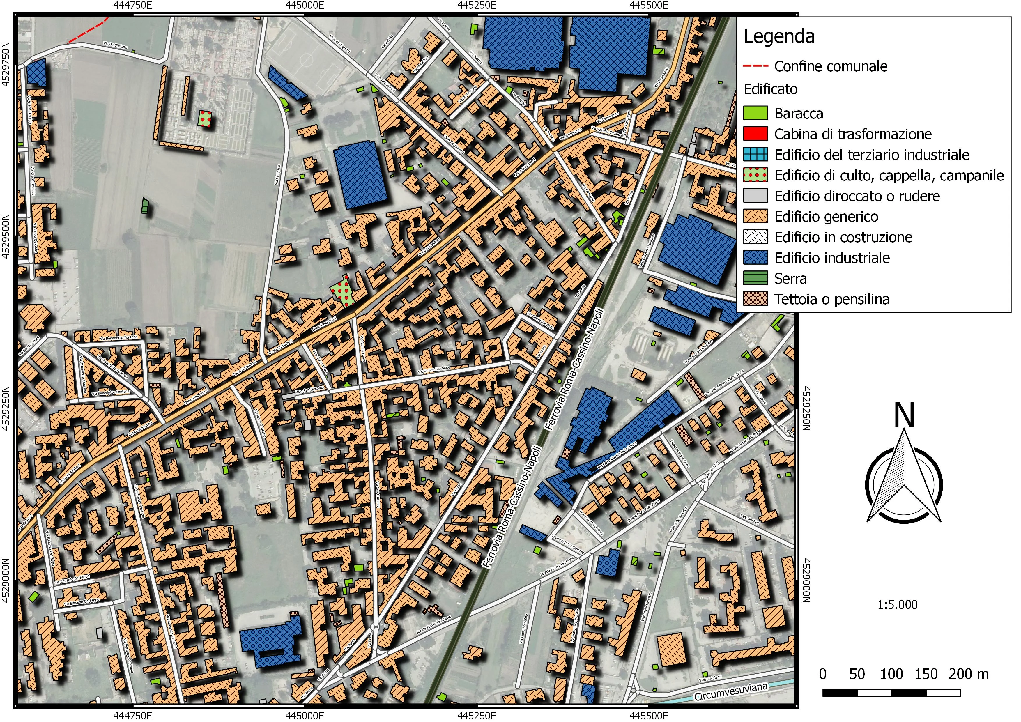
All of these activities require cartographic support for decision-making. Not a mere map, but a geographic database in which every geometric element is associated with a tabular component containing countless pieces of information. In cases like these, GIS are indispensable.