
Last week in Latitudo40 we tried to understand if it was possible to detect the reduction in anthropogenic pressure on the environment caused by COVID-19 using satellite optics. Honestly, I was a little skeptical about this possibility. but then working on it myself I was very surprised by the result!
I analyzed two datasets Copernicus Sentinel-2, one from 15 March 2019 and the other from 19 March 2020, both relating to Laguna di Venezia. I preferred to choose two temporally similar periods (practically the same with no small amount of luck!) because I wanted to minimize seasonal factors as much as possible which could in some way "dirty" the data.
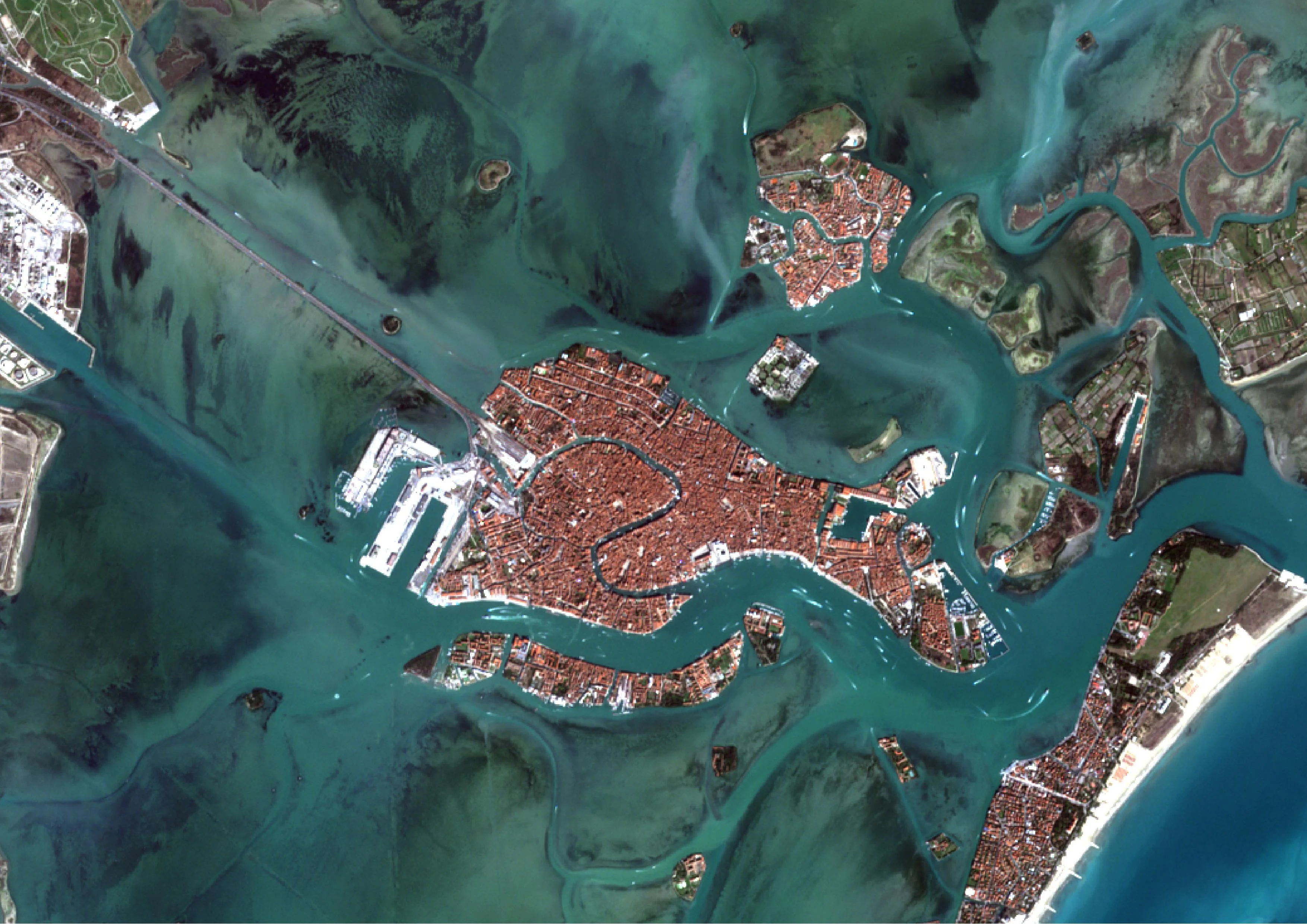
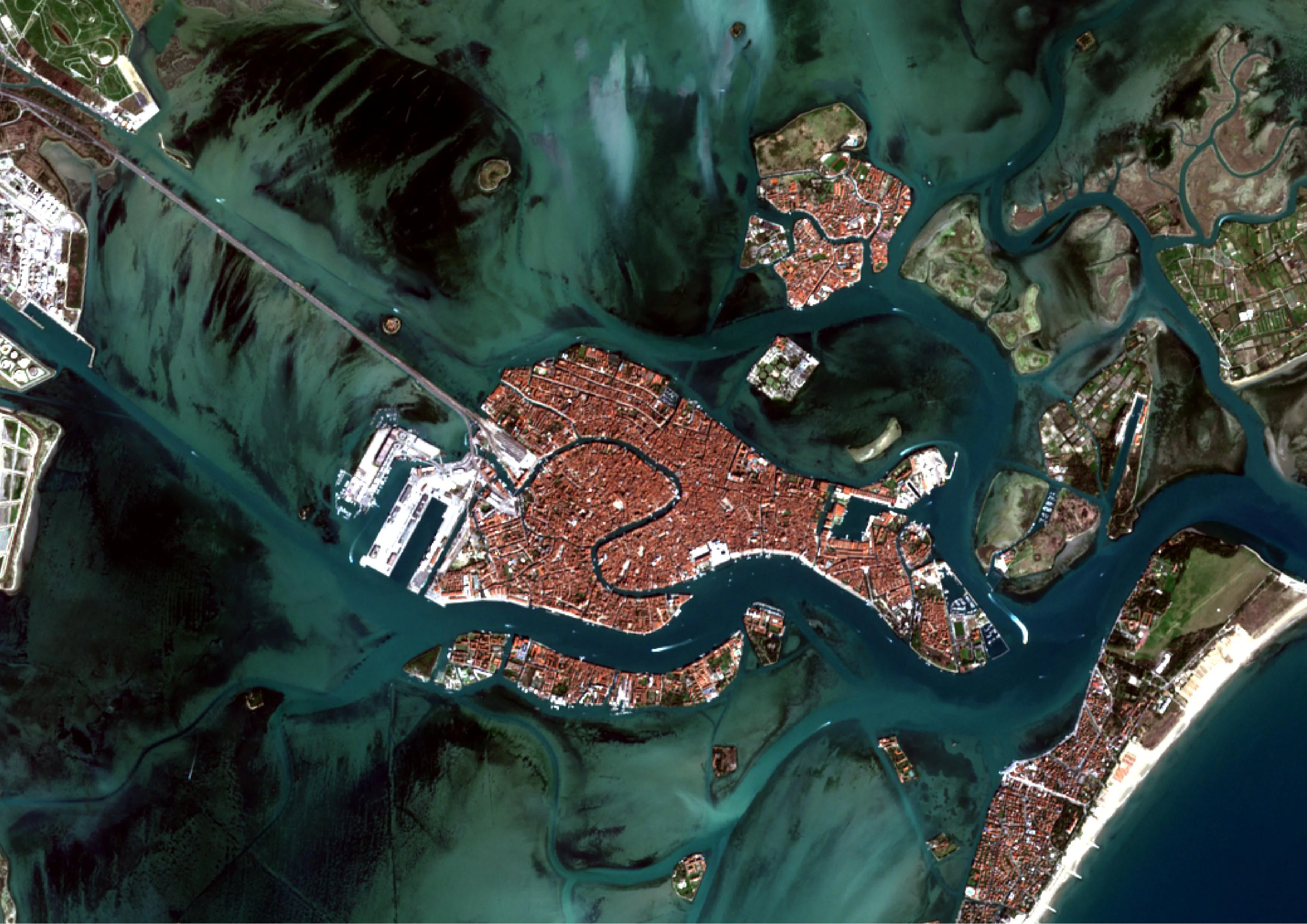
The comparison between the RGB images didn't give me much information apart from the evident reduction in maritime traffic, as you can see.
|
|
|
15 March 2019 |
March 19, 2020 |
What really impressed me, however, was the comparison between the two images processed to define the turbidity of water.
|
|
|
15 March 2019 |
March 19, 2020 |
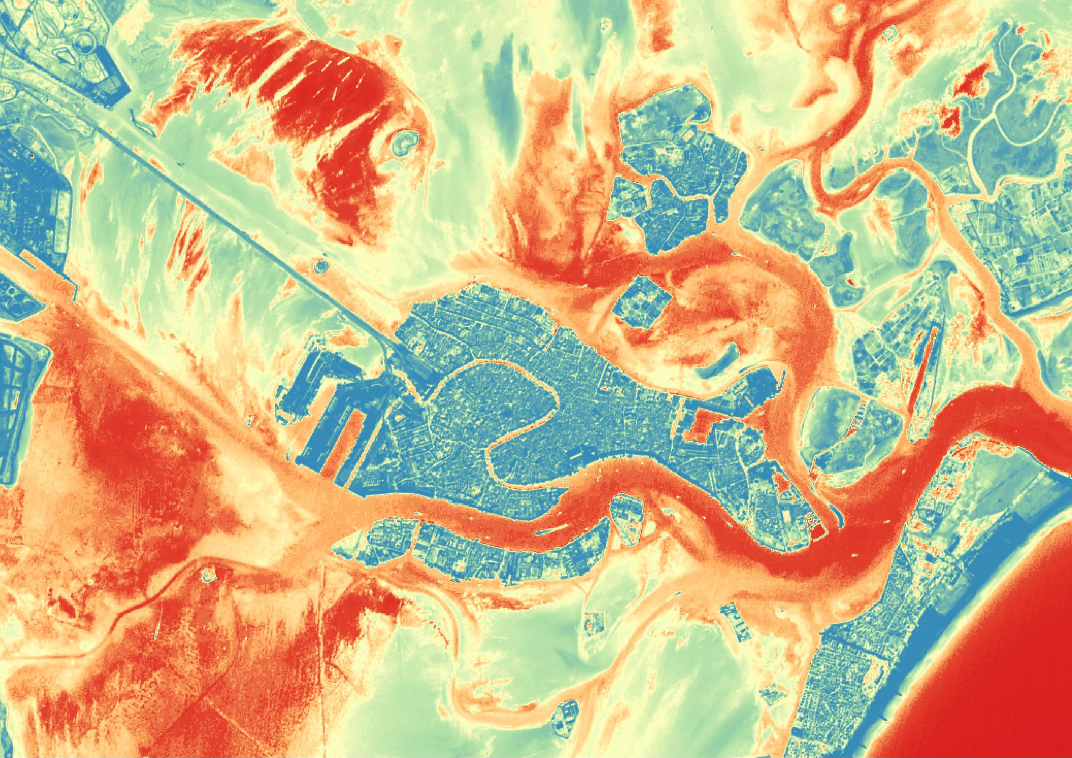
I'll explain what you're seeing. From deep blue to green there are areas with a cloudiness. full. These also include the areas outside the water, I could have created a mask for the emerged lands but I wanted to leave the data unchanged because it is I believe that so be an inspiration for many thoughts. From orange to intense red the turbidity decreases until it disappears with intense red. All the reasoning of the case is up to you.
What you see is a qualitative and not quantitative analysis but I consider it very explanatory on the anthropic impact.
Why is it turbidity of water is a problem?
The turbidity is one of the parameters used to define quality of water; it is used together with the analyzes on ph and oxygen which determine the quality of the product. of water from a chemical-physical point of view. A strong presence of non-sedimentable dissolved solids makes the water unclear and cloudy. These solids can be natural organic in nature such as algae, chemical such as oils, fats, metal oxides and silicates. These substances, given their size, tend to remain suspended in water for long periods, even days, before sedimenting and that is before settling at the bottom of a basin.
In a lagunare environment the waters are generally shallow allowing navigation only to boats with little fishing because it is otherwise they would risk running aground. The lack of depth of the lagoon waters in conjunction with maritime traffic causes there to be a continuous mixing of the water at depth, leading to the suspension of those substances I listed before and therefore making the water cloudy. Very cloudy water is a water that retains a lot of solar energy, sometimes leading to an increase in the temperature of the water which causes the reduction of dissolved oxygen in the water. When oxygen is reduced too much, anoxic zones are generated which in turn determine a drastic reduction in marine fauna and flora. But I don't want to dwell on this any further, entering too much into the field of my friend Daniele Grech who does marine biologist.
The methodology used is always applicable?
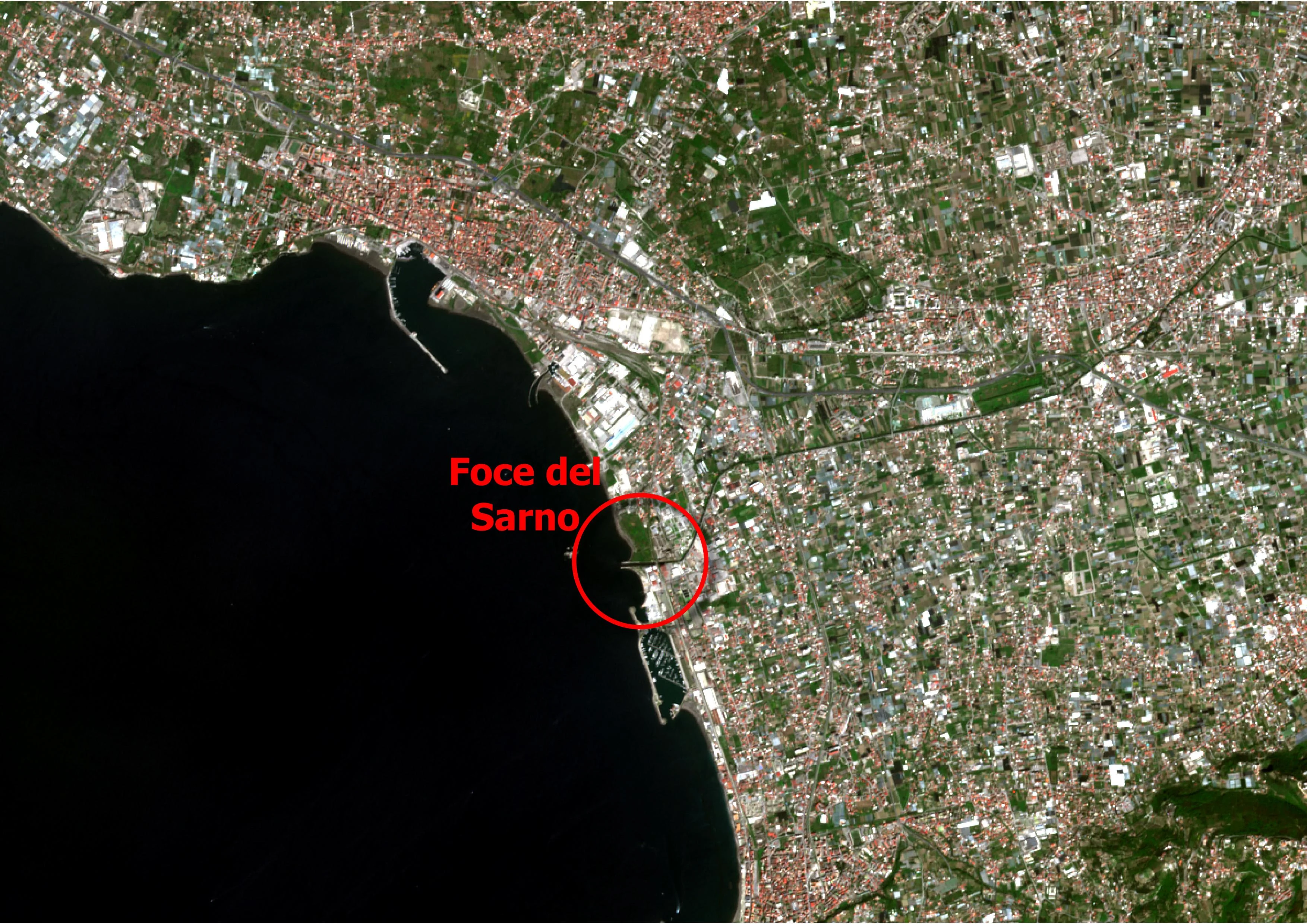
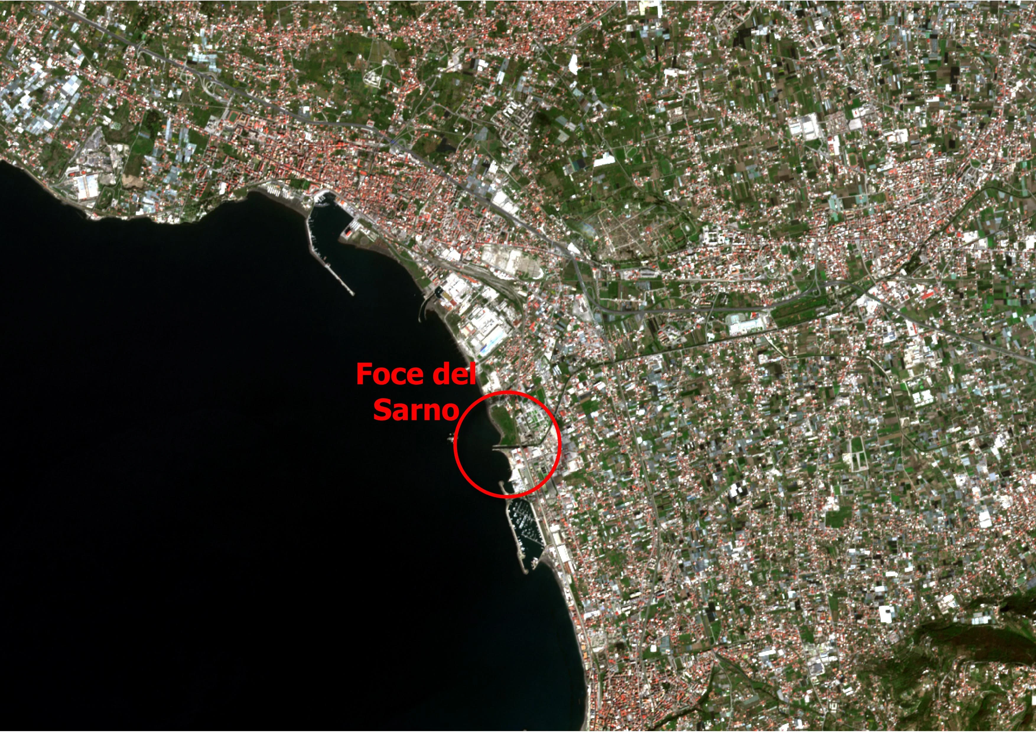
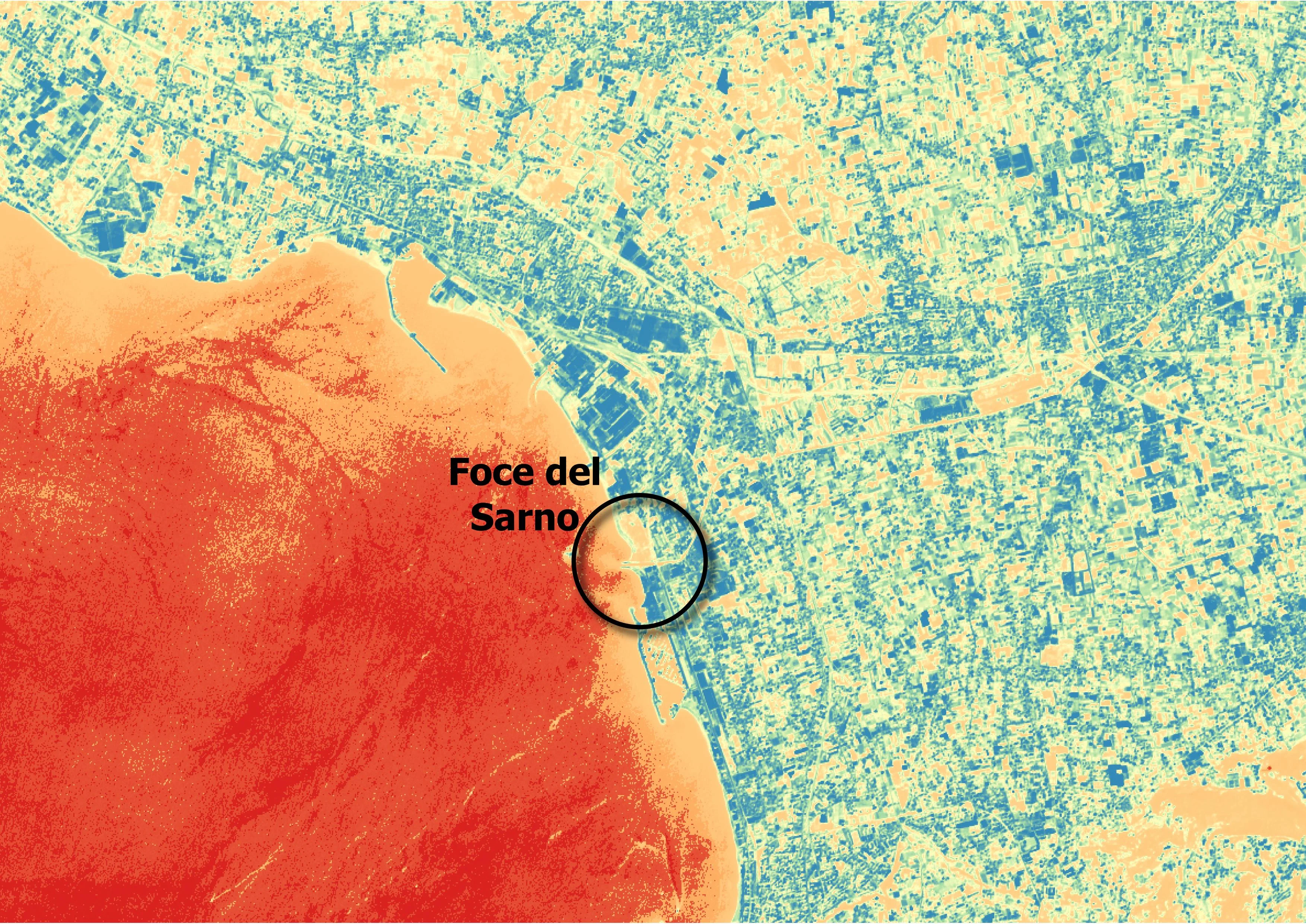
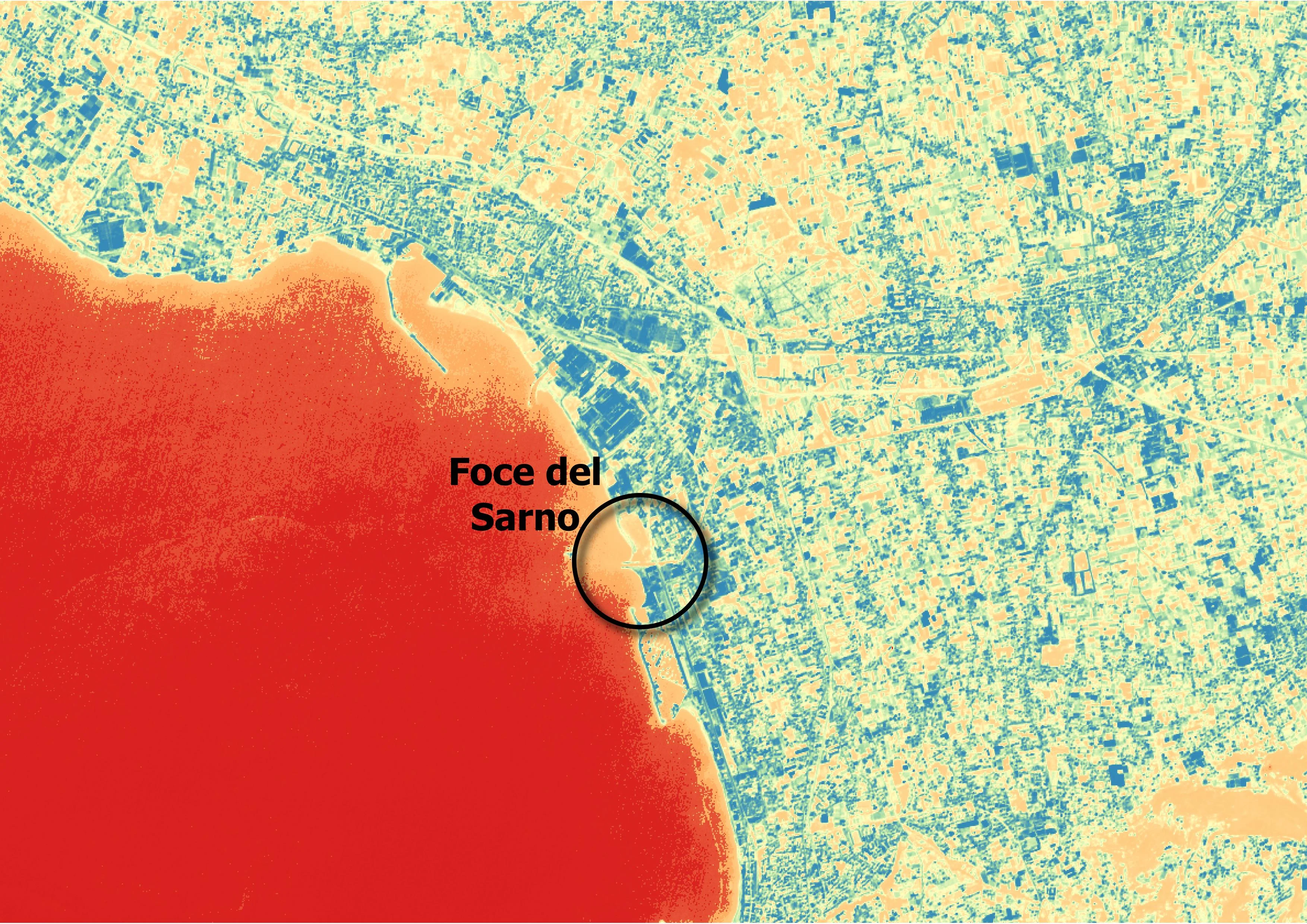
Unfortunately no! In fact, I have found that if the waters are too deep, at least with the technique I used, it is not possible. no reasoning possible. After yesterday's meeting, in UCSA, we thought of using this technique to monitor the Sarno river, the river polluted of Europe. The news from these days of quarantine is that the waters of the Sarno are clear again, we therefore wanted to activate a process of perpetual monitoring of the river, which among other things is part of the Parco Regionale del Fiume Sarno, but partly for reasons of resolution of the satellite data used, partly because it is the mouth of the river is in a stretch of the Gulf of Naples where the waters are immediately very deep, it is not it is possible to carry out an analysis of this type. However, I am attaching the images taken from the analysis which, as you can see, also shows false positives on the mainland. What I see is that the natural solid transport of the Sarno does not seem to give indications about the clarity of its waters, the resolution of the data used (again Sentinel-2) does not help.
April 18, 2019 |
April 2, 2020 |
|
|
|
|
|
|
NB: attached is You can find the project document Copernicus where you came from. inspiration for this article.