
Managing public green spaces, understood as their maintenance and improvement, is one of those activities that can be planned with a GIS.
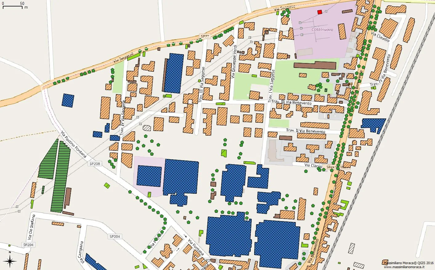
The image shows an extract from the technical regional map, where the green pentagons represent trees.
For public green-space management, a GIS can be made available to the municipal technical office so that, in addition to the geographic position of flowerbeds, parks, and trees, many more pieces of information can be stored.
For trees, for example, an attribute table could be structured with the following fields:
- species (an agronomist might object because I do not know the exact term for defining the type of tree, but I do another job!);
- a photograph;
- the planting date;
- the date of the latest maintenance activity, which could be linked to a table containing the maintenance history and the type of intervention;
- its health condition, and here too a link could be created to a table containing the tree's “medical record”.
These data could be made accessible to a qualified technician, such as an agronomist, who could review them to understand where action is needed to avoid dangerous events such as the collapse of a tree and the damage, and unfortunately even the casualties, that such an event can cause.
Another useful example for understanding the value of GIS in public green-space management is the case of flowerbeds.
Here too, beyond simply drawing their boundaries, it is possible to create an attribute table where the tree or plant species present, the irrigation system, maintenance history, and much more can be recorded.